Data analysis
[Video] Skills achieved during Maritime Data Analysis training
This video illustrates the skills achieved during the maritime data processing training cycle (MDP) delivered in Mombasa, Kenya by EU CRIMARIO in 2018-2019. Olivier Bézier, CRIMARIO training and capacity building component manager, introduces the whole training cycle...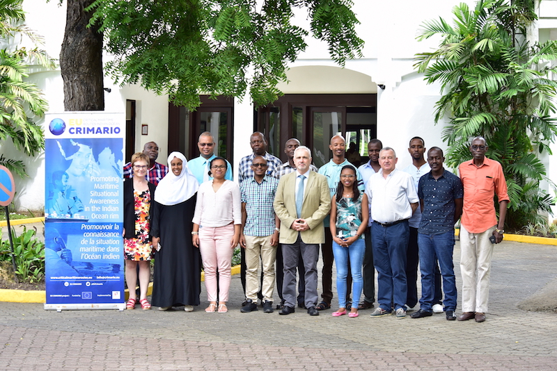
Training in maritime analysis contributes to a better surveillance at sea
CRIMARIO organised the final session of the training cycle dedicated to maritime data analysis for 14 participants of Kenya, Madagascar and Seychelles (13-23 May, Mombasa, Kenya). The EU CRIMARIO project has designed a complete training programme on maritime data...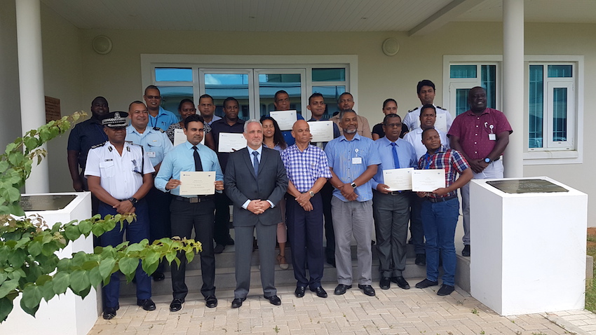
Seychelles & Mauritius: certified analysts in the maritime domain
Mauritius and Seychelles are achieving the full programme in maritime data analysis. The previous sessions were delivered in 2018 (May, June and October 2018); this fourth and final session was attended by the 14 participants who successfully completed the test...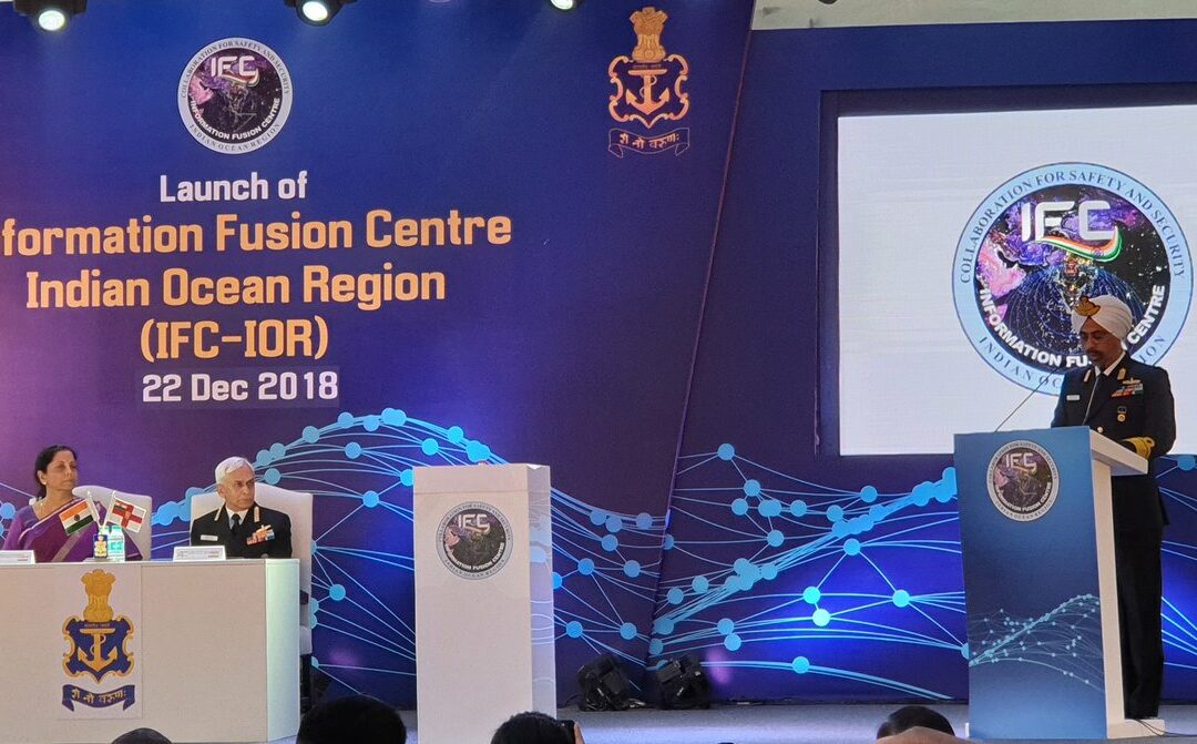
Information Fusion Centre – Indian Ocean Region (IFC-IOR) is launched
Mrs. Nirmala Sitharaman, the Honourable Raksha Mantri, launched the Information Fusion Centre – Indian Ocean Region (IFC-IOR) on 22 December 2018, at Information Management and Analysis Centre (IMAC) Gurugram. Apart from representation by officials from the MoD, MEA,...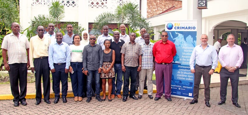
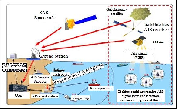
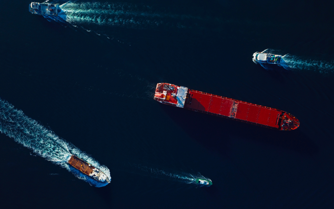
How to analyse the maritime domain?
The development of the blue economy requires the control of crimes and incidents at sea. As a response, the EU CRIMARIO project advocates regional cooperation and interagency coordination, which are illustrated today in Mombasa by the two-weeks training session...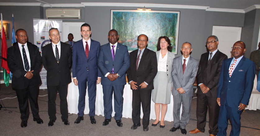
Stronger maritime cooperation in Madagascar & Comoros
On 27 October 2017, in Antanarivo (Madagascar), the Prime Minister of Madagascar chaired the closing ceremony of the CRIMARIO last training session and the signing ceremony of maritime information sharing agreements between the MIFC (Maritime Fusion Centre of...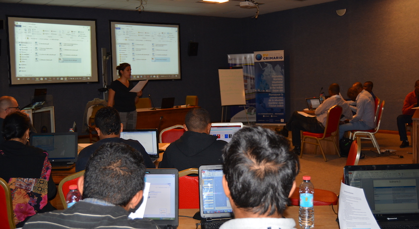
A new session within the training in data analysis
The EU CRIMARIO project, in collaboration with RMIFC, is continuing its training programme in visualization and analysis of maritime data. From 11 to 22 September 2017, in Antananarivo, 31 specialists of Comoros and Madagascar, belonging to administrations and...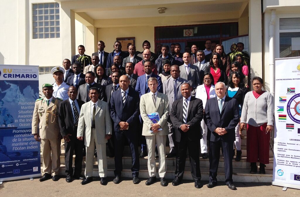
The course on maritime domain analysis starts in Antananarivo
CRIMARIO starts a new training on maritime data analysis. The first course is delivered in Antananarivo (Madagascar) from 24 July to 4 August 2017 for 28 participants from Comoros and Madagascar. The future analysts will deepen their knowledge of maritime domain and...